Animas

Plan the route. Follow it with no signal.

Animas is an offline trail map and route planner with cartography as rich as a printed topo map. Find trails, draw your own route, and follow it on your phone, even with no service. Built for hikers, trail runners and riders, and ready for the roads too.

Your home state is free. Pay once, what feels fair, to unlock the rest.

Android first, early 2027, with iPhone to follow. Launching in Virginia, Colorado and Oregon.

Concept screen with a real map: the Old Rag Loop on USGS terrain and OpenStreetMap trails. App screenshots arrive with the test builds.

From the trailhead to the summit, with or without service

Download your state once at home. Everything after that works in airplane mode.

  1. Map of trails around Old Rag Mountain, with the Old Rag Loop highlighted
    1

    Find a trail

    See trails around you with distance, climb and whether they loop or go out and back. Public land is shaded, so you know where you can roam.

  2. Planning the Old Rag Loop on the map
    2

    Plan your route

    Tap points and the route snaps to real trails, or to roads when you want them. Drag to reshape it and watch the climb and elevation profile update, right on your phone.

  3. Following the route up the Ridge Trail on a zoomed-in map
    3

    Follow it offline

    Phone in your pocket, screen off. If you miss a junction, Animas buzzes and tells you which way your route goes. When every turn counts, follow along live on the map.

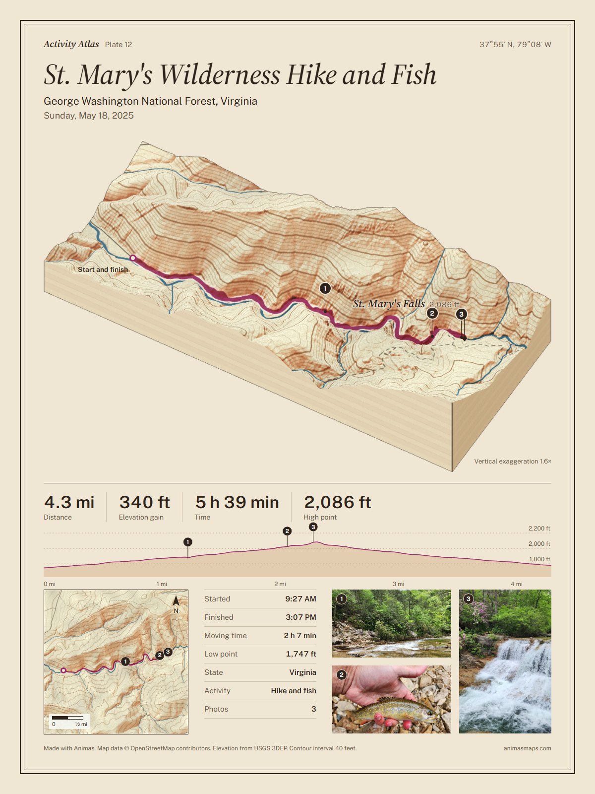
Sample Activity Atlas plate in the Vintage style from a real 4.3 mile hike along the St. Mary's River in Virginia: a 3D block diagram of the gorge in warm raised relief on aged paper, with 40 ft contours, stats, an elevation profile, a relief map and three photos

Activity Atlas

Every outing becomes a map worth keeping.

After a hike or ride, Animas draws a numbered plate of where you went: the terrain in 3D with your route on it, a relief map, the elevation profile, your stats and up to three photos, each pinned where you took it.

More than a record of where you went: a keepsake of the places you explored.

Print it up to 18 × 24 in, or share it as an image. Every plan includes one plate a month; supporters get unlimited.

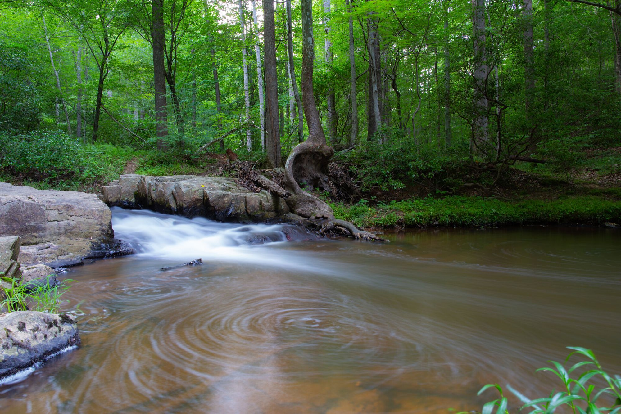
Sample plate from a real hike in St. Mary's Wilderness, Virginia. Photos by Animas.

Drawn like a survey sheet, made for your phone

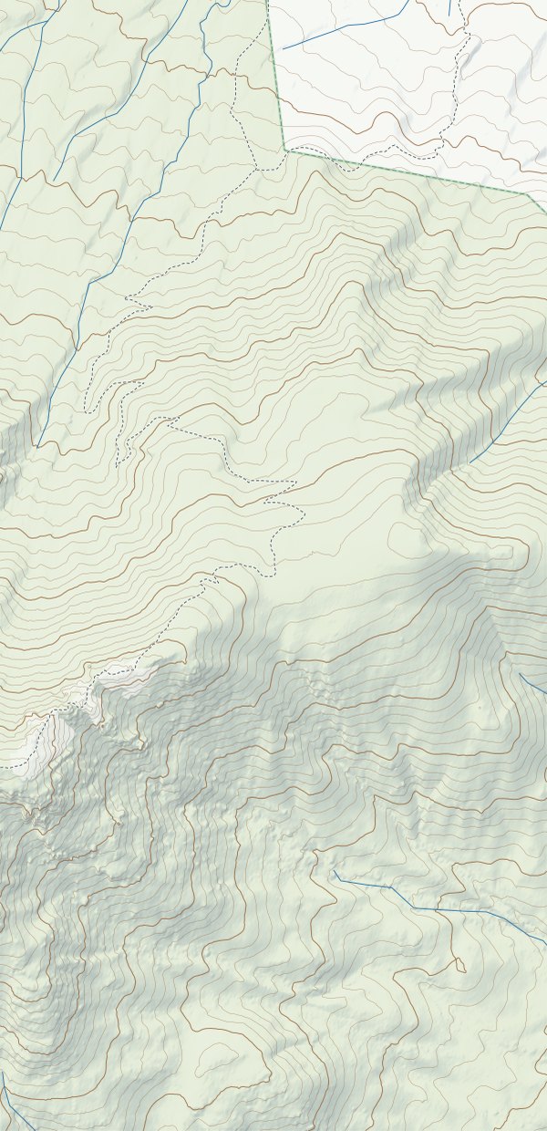
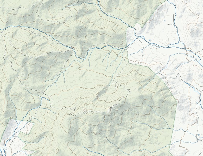
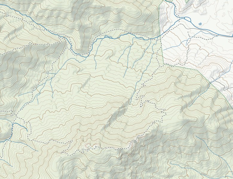
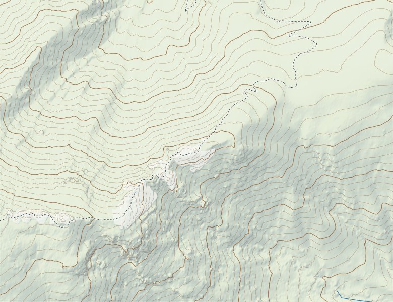
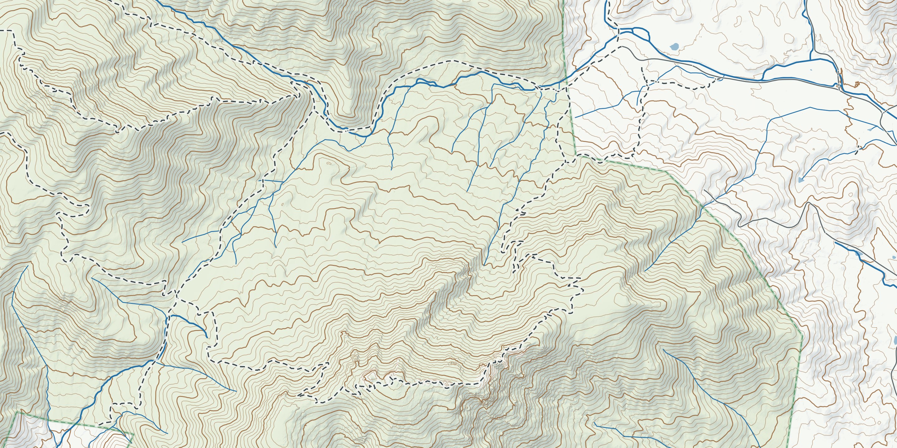
Animas Topo follows the conventions of USGS topographic maps, drawn by a cartographer. As on USGS quads, the contour interval fits the terrain: 20 feet in gentle country, 40 feet in the mountains, with a heavier index line every fifth contour. Add shaded relief, blue water, dashed trails and public land you can read at a glance.

78°20′78°19′78°18′78°17′
38°34′30″38°34′38°33′30″38°33′
Topographic map of the Old Rag loop in Shenandoah National Park, Virginia: real terrain with 40 ft contours, streams, trails, the park boundary, and the route in magenta over Old Rag Mountain
Your planned route
Trail
Stream
Public land boundary
Contours, 40 ft apart
Old Rag Loop
9.0 mi, 2,460 ft of climb. Animas Topo with real terrain (USGS 3DEP) and trails (OpenStreetMap).
01 mile
Terrain
USGS 3DEP elevation, the national standard, turned into contours and shaded relief.
Trails, roads and water
OpenStreetMap, kept current by millions of mappers, from local hikers to trail crews.
Public land
The USGS Protected Areas Database, so you can see where you're free to roam.
Updates
Maps refresh at least once a year, included for your home state and every state you unlock.

Also in your pack

Key features I aim to include for all users from day 1.

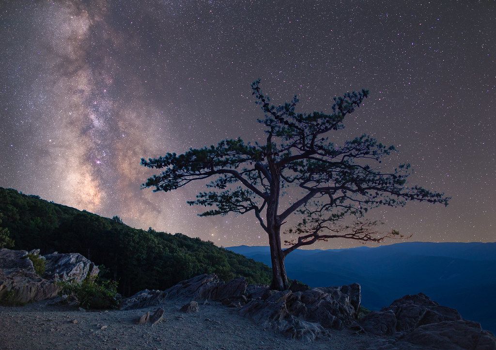
A lone pine on a rocky overlook under the Milky Way
Red-light mode
A red-on-black map for late-night ventures and pre-dawn starts that keeps your night vision.
Save any hike as a route
Found a better way? Keep the path you walked and follow it next time.
Your files, any format
Export GPX, FIT or KML for your watch, bike computer or Strava. Import routes from anywhere.
Health Connect
Hikes and rides are saved to Health Connect as workouts with time, distance, climb and the route, for apps that read from it. Animas doesn't record heart rate.

Free to start. Pay what feels fair.

Use Animas fully in your home state, free. Pick it once; you can change it one time. Offline navigation and off-route alerts are never behind a paywall. Support Animas once, at the price that feels right to you, to unlock every state, unlimited Activity Atlas prints, and photo shares without the Animas mark. Every option unlocks the same app.

Giving back to the trails. $1 from every unlock, and $2 from every Pay it forward unlock, goes to volunteer trail crews in our launch states. Partners announced before launch.

No subscription. Popular trail apps charge about $30–100 every year for offline maps and route planning. Animas is one payment.

Maps stay fresh. Updates at least once a year, included. No renewal, ever.

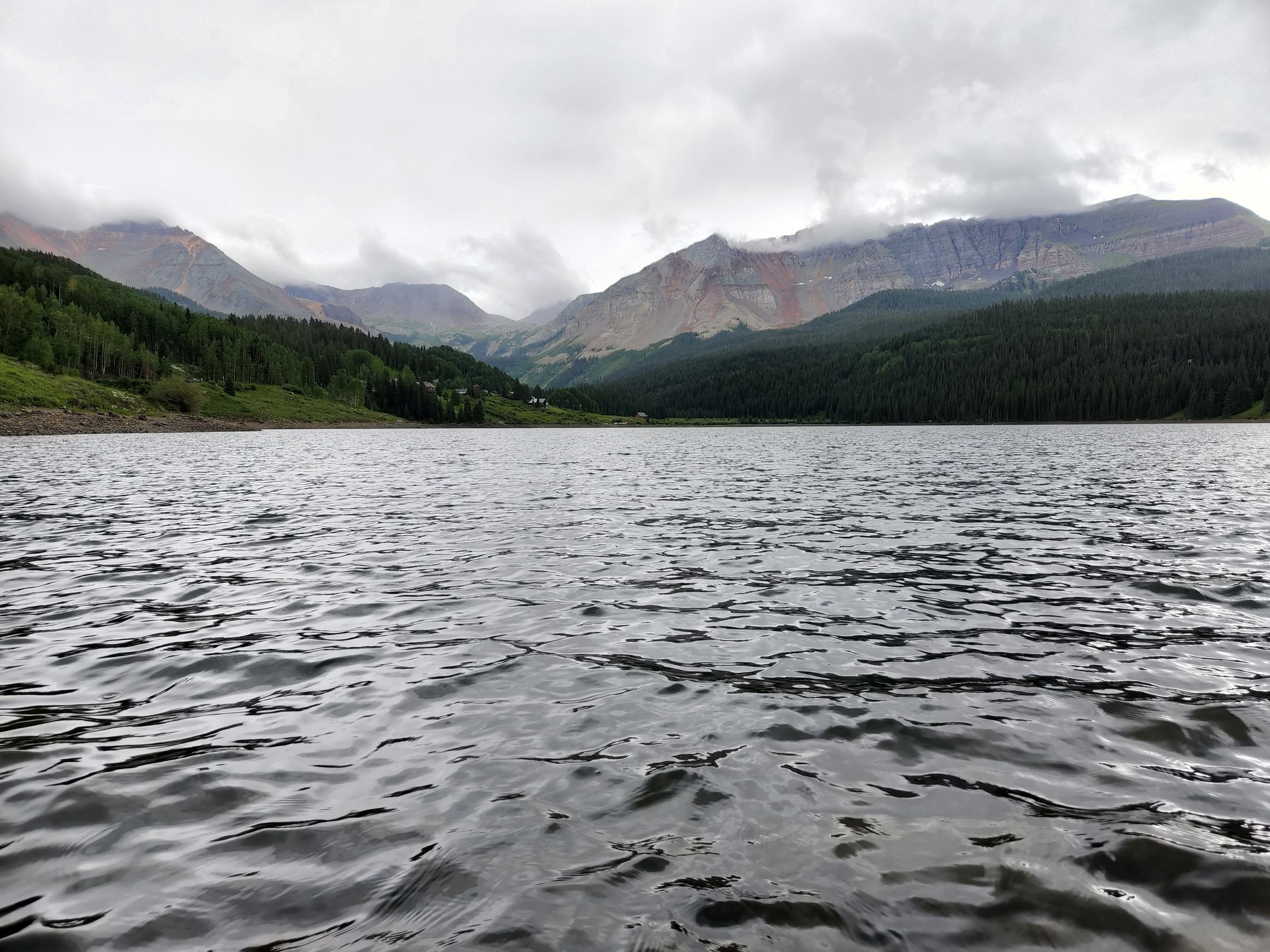
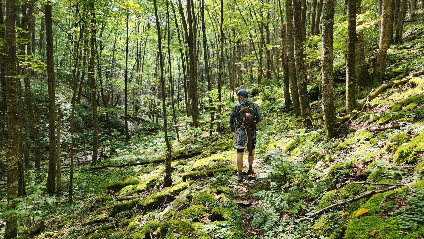
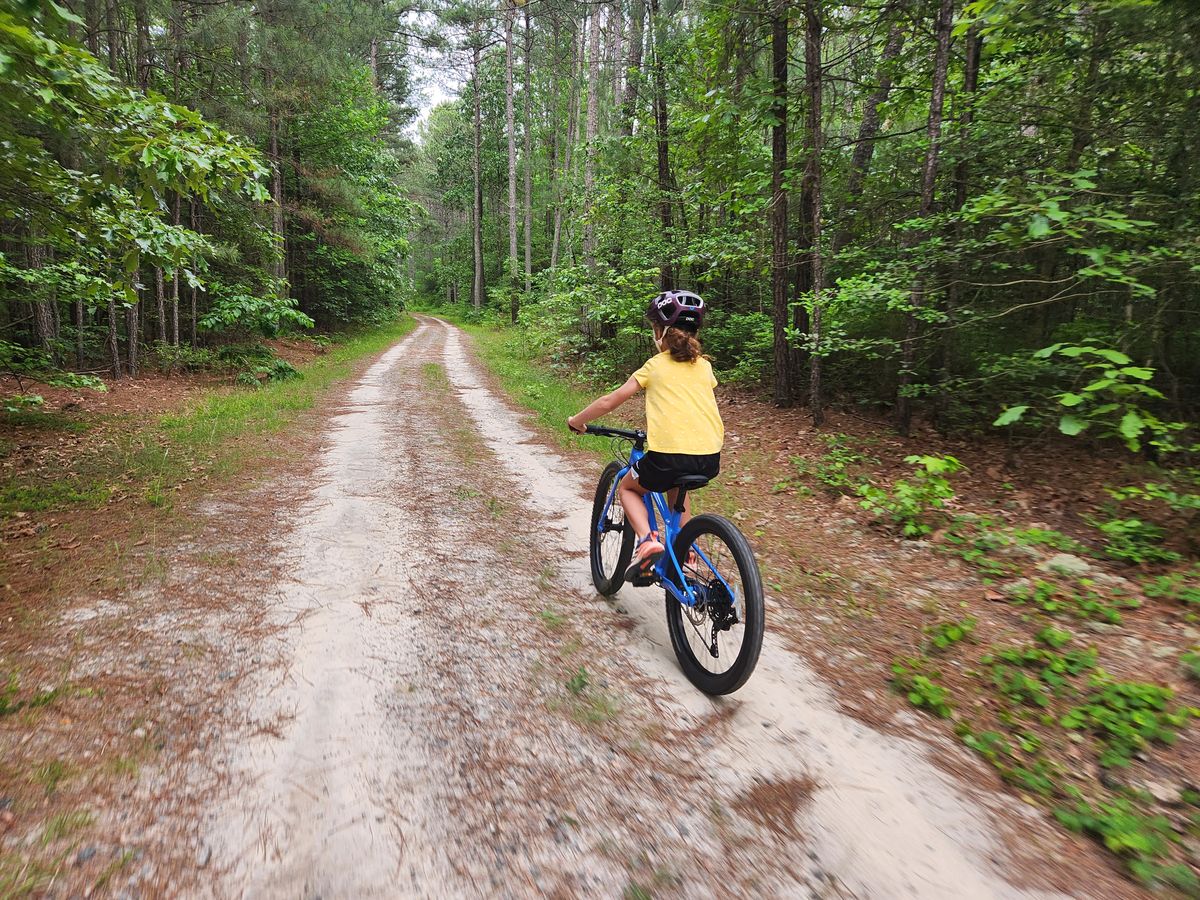
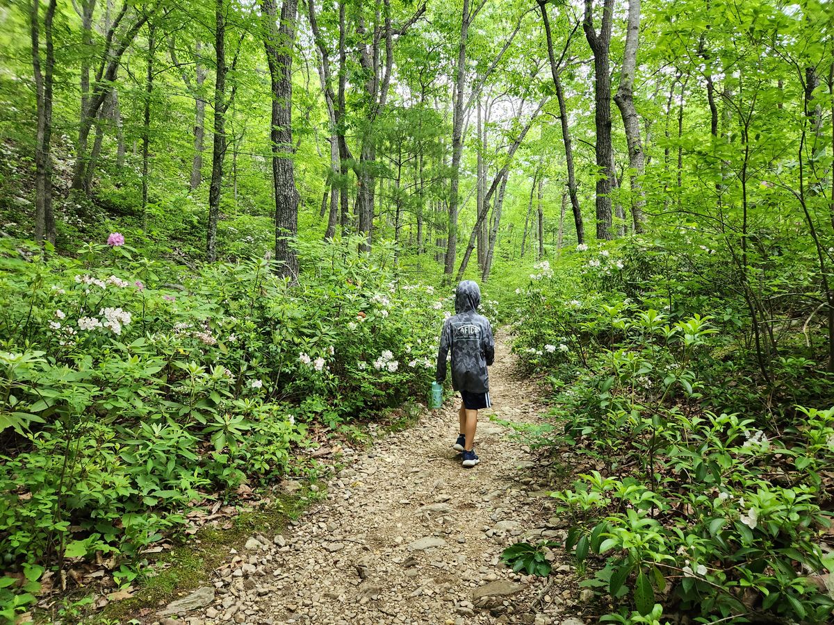
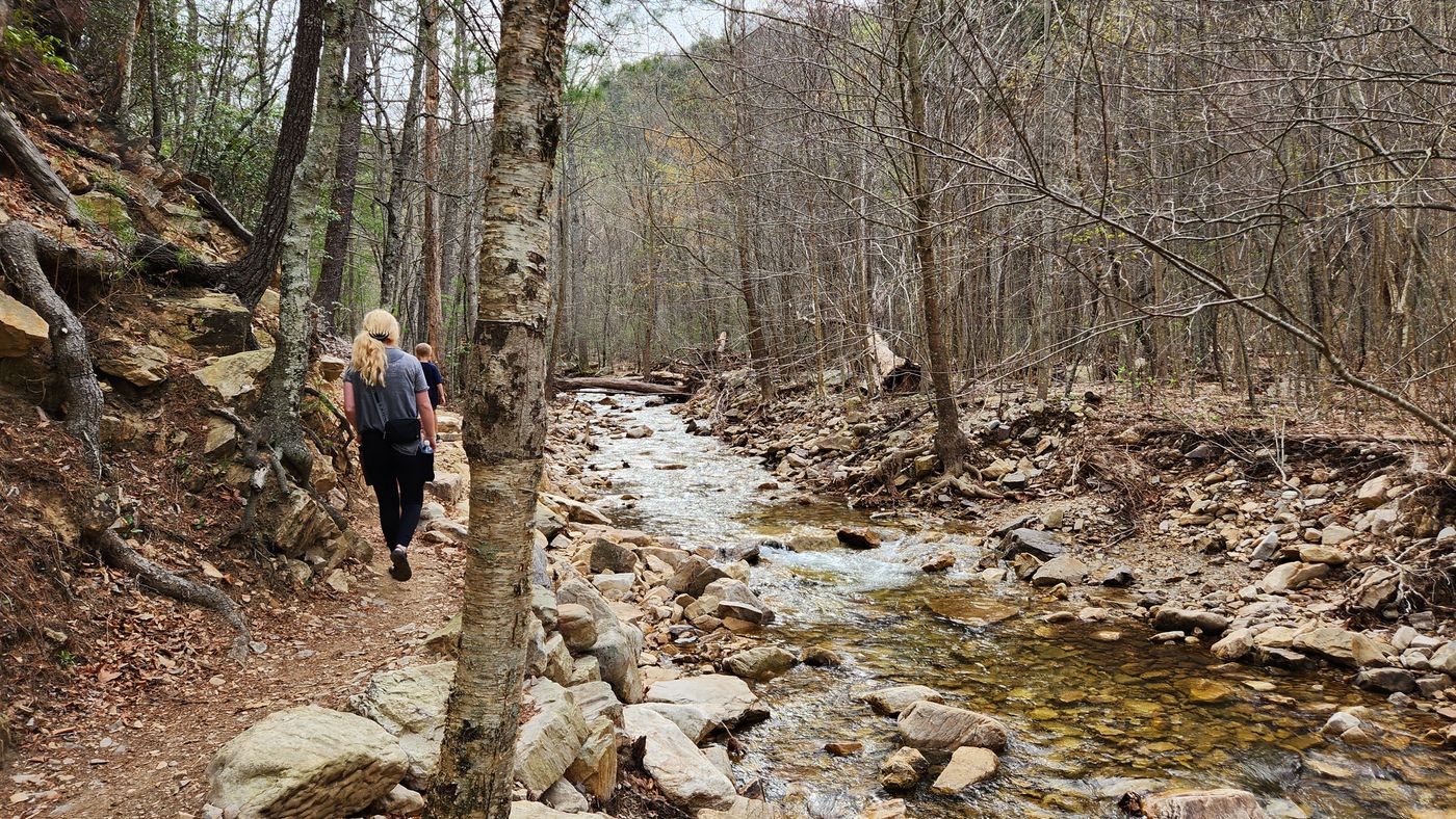
A hiker with a fly-fishing net walking a mossy forest trail A young rider on a blue bike pedaling down a sandy forest road A boy walking a rocky trail through blooming mountain laurel Hiking a creekside trail on an early spring day

It started on the banks of a river

I was born in Durango, Colorado, on the banks of the Animas River, and grew up in the San Juans hiking, riding, fishing and exploring.

Life has since taken me from coast to coast, and I've kept exploring wild places and sharing them with my friends and family: the Rockies and the deserts of the Southwest, Appalachia, the San Bernardino Mountains and the Cascades, the volcanic slopes of the Nā Pali Coast on Kauaʻi, even the Great Wall of China.

I'm a geographer and cartographer by trade. Animas is where my two passions meet: getting out into wild places on foot and by bike, and making maps that are as beautiful as they are easy to use.

I'm building it to make experiences like these easier to reach and safer for everyone. It's named for the river where it all started for me - the Río de las Ánimas Perdidas, the River of Lost Souls. Fitting, I feel, for an app that keeps you from getting lost. May our trails one day cross!
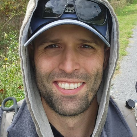
Rex, smiling in a hooded fleece and cap on a trail

Rex, Founder of Animas

Questions

Does Animas need an internet connection?

Only to download your state at home. Planning, routing, navigation and off-route alerts all work in airplane mode.

Does GPS work with no cell service?

Yes. Your phone finds its position from satellites, not cell towers, so you stay on the map with no signal. The first fix can take a little longer without data.

How much storage do the maps take?

About 1 GB for a typical state with terrain (Virginia, Colorado and Oregon each measure close to that). You can remove a state any time.

How often are the maps updated?

At least once a year, included for your home state and every state you unlock. You choose when to download an update, on Wi-Fi.

Can I bring my own routes?

Yes. Import GPX, KML or FIT files from any app or website, and export GPX, FIT, KML or TCX for your watch, bike computer or Strava.

What happens if I change phones?

Your unlock is tied to your Google Play account, so it moves with you. Your home state and saved routes come back through Android backup, and you can always export routes as files.

Is there a subscription?

No. Your home state is free, and one payment unlocks every state. There is nothing to renew. Already unlocked and want to chip in more? A tip in the app is always welcome. I like coffee.

Can I unlock later, after I install?

Yes. Use Animas free as long as you like, and unlock from the app whenever you're ready. Payment goes through Google Play, with any card, Google Pay or Play balance on your account.

Will there be an iPhone version?

Yes, after the Android launch. Choose iPhone on the waitlist and you will hear first.

Get on the map early

Be among the first on the trail, and help shape what Animas becomes.

  • Test builds before launch (Android)
  • A say in which features and states come first
  • A note the day your state is ready

A few emails before launch, never more than one a month. The quick questions in the form help set fair prices and decide where Animas launches first.

Your phone
At launch, what would you pay to unlock every state?

Nothing to pay now. Launch news and test builds only, never sold. To be removed, reply to any email or write to privacy@animasmaps.com.

Devices

Supported devices, platforms and file types. Target dates for planned devices such as iOS will be posted following Android release in early 2027.

At launch

Devices and services: at launch
Device or service Status Notes
Android phones At launch Android 8.0 and newer. Built and tested first on Samsung Galaxy phones.
Health Connect At launch Workouts with time, distance, climb and route. What other apps show from Health Connect varies by app. No heart rate.
Garmin, Wahoo, Strava, Gaia and more At launch By file: export GPX, FIT, KML or TCX, and import routes from anywhere.

Later

Devices and services: later
Device or service Status Notes
iPhone Planned After the Android launch. Pick iPhone on the waitlist to hear first.
Wear OS and Galaxy Watch Planned A watch companion for following your route and off-route alerts.
Direct Garmin and Wahoo sync Planned Send routes straight to your watch or bike computer, no files.
Web planner Not planned yet Animas plans on your phone, offline. Desktop routes import as files.